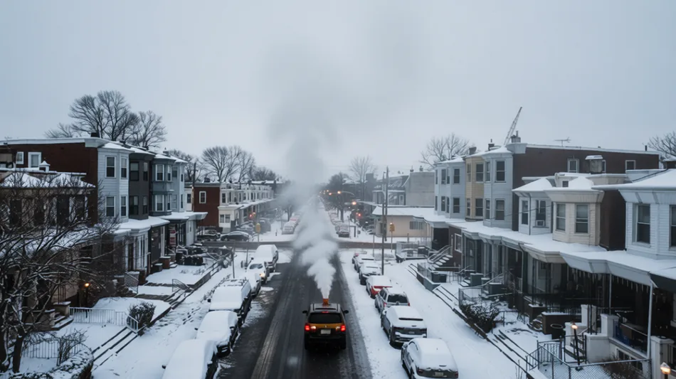
Early Polar Vortex Disruption Creates Uncertain Winter Outlook for Pennsylvania

 London
 6 °C

 Manchester
8 °C
 Glasgow
 4 °C
 Dublin
8 °C
 Belfast
 9 °C
 Washington
15 °C
 Denver
 10 °C
 Atlanta
17 °C
 Dallas
 19 °C
 Houston Texas
23 °C
 New Orleans
21 °C
 El Paso
16 °C
 Phoenix
22 °C
 Los Angeles
22 °C
San Diego
23 °C
San Francisco
18 °C
Chicago
7 °C
Minneapolis
3 °C
Seattle
13 °C
Portland
13 °C
Salt Lake City
 8 °C
Las Vegas
21 °C
Miami
26 °C
Jacksonville
24 °C
San Antonio
19 °C
Bermuda
24 °C
Nassau
16 °C
Iqaluit
 0 °C
Yellowknife
-3 °C
Anchorage
 0 °C
Fairbanks
-1 °C
Barrow
-5 °C
Calgary
8 °C
Edmonton
9 °C
Winnipeg
3 °C
Goose Bay
11 °C
Halifax
17 °C
Boston
18 °C
Ottawa
12 °C
Toronto
6 °C
Detroit
7 °C
Cleveland
7 °C
New York
17 °C
Baltimore
14 °C
Philadelphia
16 °C
Nuuk (Godthåb)
-2 °C
Hong Kong
 26 °C
Singapore
29 °C
Melbourne
25 °C
Canberra
16 °C
Adelaide
17 °C
Darwin
 33 °C
Perth
24 °C
Fort Worth
19 °C
Honolulu
28 °C
Sydney
29 °C
Johannesburg
15 °C
Dubai
27 °C
Mumbai
29 °C
Zürich
8 °C
Tokyo
18 °C
Seoul
5 °C
Delhi
17 °C
Beijing
5 °C
Riyadh
24 °C
Prague
0 °C
Pennsylvania
17 °C
Valletta
16 °C
Manama
30 °C
Warsaw
2 °C
Stockholm
2 °C
Meteorologists are grappling with significant uncertainty regarding Pennsylvania’s winter outlook following an unusually early disruption of the polar vortex. This atmospheric shift is expected to bring wetter and milder conditions through mid-November, potentially setting the stage for colder air later in the month, though experts caution that the long-term impacts remain undecided.
An unusually early disruption of the polar vortex is reshaping weather forecasts across Pennsylvania, leaving meteorologists to navigate a complex and uncertain winter outlook. The event, which has disrupted the mass of frigid air that typically remains over the North Pole, is expected to bring wetter and milder conditions through mid-November before colder air potentially arrives in the second half of the month.
According to Philadelphia Patch, AccuWeather anticipates that this pattern will end a prolonged stretch of sunny days and warm afternoons across the eastern United States. For South Philadelphia, specifically the area extending from Passyunk Avenue to Point Breeze, the immediate change involves rain and a break from recent dry spells.
Despite the disruption, AccuWeather does not expect the shift to trigger a bitter cold blast across the United States in November. Brett Anderson, a senior meteorologist at AccuWeather, noted that northern Canada is not currently exhibiting unusually cold temperatures. "This time, what true cold air exists in the pattern will be directed to Siberia, rather than North America," Anderson said.
The polar vortex resides in the stratosphere, approximately 10 to 30 miles above the Earth's surface. It typically forms in late summer and reaches peak intensity during December and January. Atmospheric waves known as Rossby waves can cause the vortex to wobble and weaken. In cases of major disruption, termed sudden stratospheric warming, the vortex may drift, stretch, split into multiple swirls, or alter its direction entirely.
Judah Cohen, a climatologist at the Massachusetts Institute of Technology, highlighted the rarity of this event. Polar vortex disruptions usually occur deep in winter. The earliest recorded disruption prior to this year took place on November 28, 1968. Cohen stated that the current event could prove minor, fading from public memory, or major enough to enter meteorological record books.
Andrea Lopez Lang, an associate professor of atmospheric and oceanic sciences at the University of Wisconsin-Madison, told Scientific American that a disruption appears likely but emphasized that the specific impacts remain undecided. The timing, location, and even the occurrence of significant effects are still unanswered questions.
The current weather pattern is also influenced by El Niño, a climate pattern characterized by warm tropical Pacific waters that typically brings milder winters to much of the northern United States. Forecasters had initially expected a relatively mild winter in North America due to this phenomenon. However, a split in the vortex could introduce cooler temperatures across the continent in the coming weeks.
Cohen cautioned against drawing definitive conclusions based on past events alone. He noted that the last El Niño winter, 2023-24, included two sudden stratospheric warming events yet remained exceptionally mild in the eastern United States. His summary of the current outlook, as relayed by Philadelphia Patch, underscored a high degree of uncertainty regarding whether Arctic air will reach Pennsylvania or divert elsewhere.
AccuWeather’s forecast for the later part of November calls for colder conditions in the East, signaling a potential shift from the mild start to the season. As atmospheric patterns continue to evolve, residents and meteorologists alike are monitoring the situation closely to determine if this early disruption will lead to significant winter weather or remain a minor anomaly.
N. Nilsson--BTZ